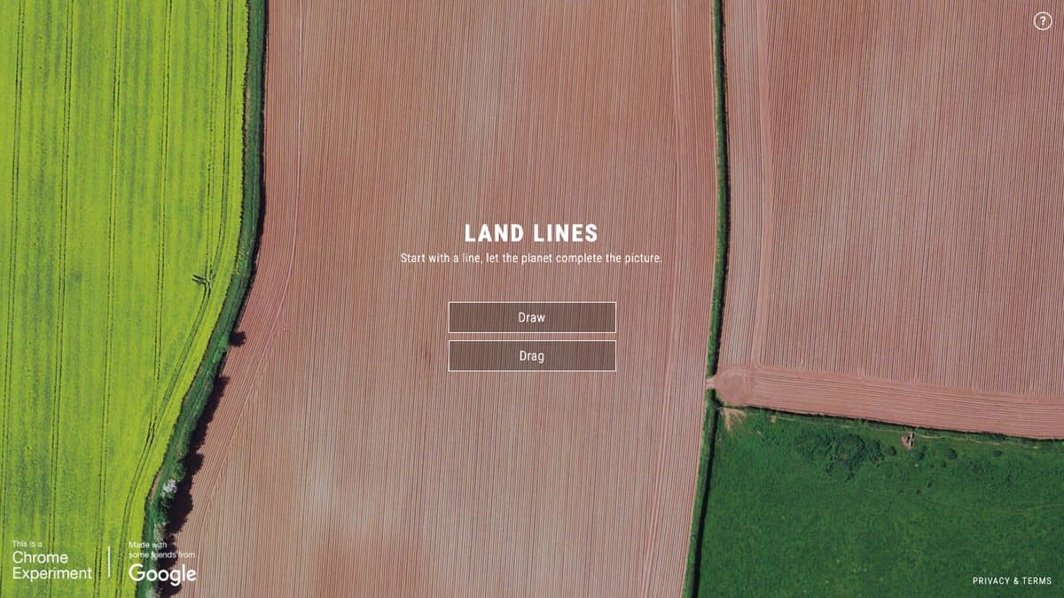
What is Land Lines?
Land Lines is a Chrome Experiment that lets you explore Earth by drawing. Sketch a line or squiggle and it searches thousands of Google Earth satellite images for a river, road, field edge or coastline with the same shape, then shows you where on the planet it is.
It was made by artist Zach Lieberman with Google's Data Arts Team and released in December 2016. Line detection and machine learning were used to scan more than 50,000 images and pick out the few thousand with the most interesting lines. It runs entirely in your browser, which is why matches show up almost instantly, and it was covered by Fast Company and the Google Earth Blog.
What You Can Do
- Draw a shape and see matching satellite imagery
- Switch to Drag mode to follow one endless line across Earth
- See where each matched image was taken
- Works on phones and computers
How to Play Land Lines
- Open lines.chromeexperiments.com.
- Choose Draw mode and sketch any line.
- Look at the satellite photo that matches your drawing.
- Try Drag mode to pull a continuous line around the world.
Is Land Lines Free?
Land Lines is a free Google experiment with no account or payment needed.
Who Will Enjoy It?
- Travel and geography lovers
- Doodlers who want to see their scribbles on a map
- Teachers looking for a playful Earth science tool
- Anyone who enjoys satellite photos
Websites Like Land Lines
- Wonders of Street View: Another way to travel the world from your browser.
- The True Size Of: A map toy that shows countries at their real size.
- Quick, Draw!: Another Google experiment that responds to your doodles.
Frequently Asked Questions
Is Land Lines free?
Yes. It is a free Chrome Experiment that runs in your browser.
Who made Land Lines?
Zach Lieberman with Google's Data Arts Team, released in December 2016.
Do I need Google Chrome for Land Lines?
It was made as a Chrome Experiment but runs in most modern browsers.