Main Features:
- Real-Time Earthquake Tracking: View live earthquake activity across the globe with precise details such as magnitude, depth, and location.
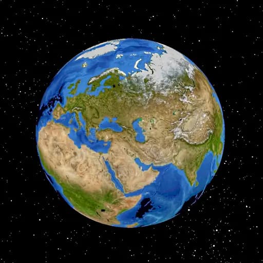
- Interactive 3D Globe: Explore earthquakes on a fully interactive 3D map, enhancing visualization and understanding of seismic activity.
- Historical Data & Reports: Access past earthquake data, compare trends, and analyze patterns over time.
- Customizable Filters: Adjust settings to view earthquakes based on magnitude, depth, and region for personalized insights.
- Integration with USGS & EMSC: Get verified seismic data from top geological organizations for accurate and updated information.
Who Should Use It?
- Geologists & Seismologists: Monitor seismic activities and analyze real-time earthquake trends worldwide.
- Researchers & Students: Study earthquake patterns, historical data, and the impact of seismic activities.
- Travelers & Expats: Stay informed about earthquake-prone regions before traveling or relocating.
- Emergency Responders: Utilize live updates to assess potential hazards and plan emergency responses.
- General Public: Gain awareness about earthquakes happening globally and understand seismic risks.